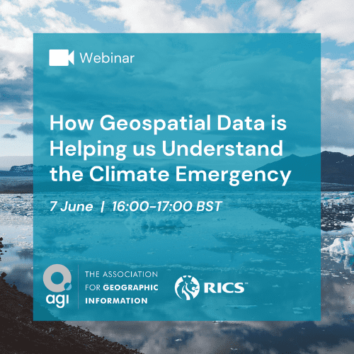
We are delighted to confirm that registrations for ‘How Geospatial Data is Helping us Understand the Climate Emergency’ are now open.
This webinar will focus on cutting edge uses of GIS and geospatial information in the ongoing fight against climate change.
Geospatial technology has quickly become a key weapon in understanding climate change, how policy changes impact the environment and how professionals in the natural and built environment can ensure development, and in some cases, coastal protection is in line with government net zero, environmental protection and biodiversity targets.
Expert Geospatial Speakers
- Natural Resources Wales – Adam Burke – Geospatial Lead
- Dynamic Coast Scotland – Dr Alistair Rennie Dynamic Coast Project Manager
- Natural England – TBC

